Images from the front: photos and videos from Kostyantynivka
- Matthew Parish
- Feb 18
- 1 min read

Kostyantynivka is the most southerly city in the Donbas still under total Ukrainian control. The road from Kostyantynivka to Pokrovsk (to the southwest) is cut by Russian troops southwwest of the city, and the town of Toretsk to the southeast, visited in March 2024, is now virtually completely under Russian control, having been destroyed in its entirety, as the following map shows.

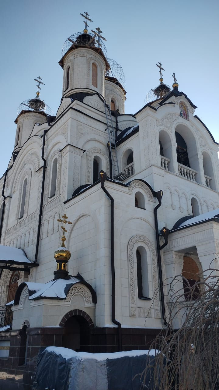
Life in Kostyantynivka for the few civilians remaining (the city retains a public transport system) is onerous, a curfew prevailing from 3pm to 11am each day, allowing residents a mere four hour window to go out shopping for essentials. Otherwise the city is almost entirely destroyed, and comprehensively militarised. The sole undamaged building in the centre is the Orthodox Church, which may be visited.
Shelling is constant, and there is a nonstop risk of attacks by FPV drones (small anti-personnel drones that carry a single explosive charge). On the day we visited, the city was relatively quiet but shelling could be heard in the distance.
Below and some videos and photos showing life in contemporary Kostyantynivka, surrounded on three sides by Russian Armed Forces, the farthest outpost of free Ukraine in the Donbas.


